


Good golly, Harriman Point is a surprise.
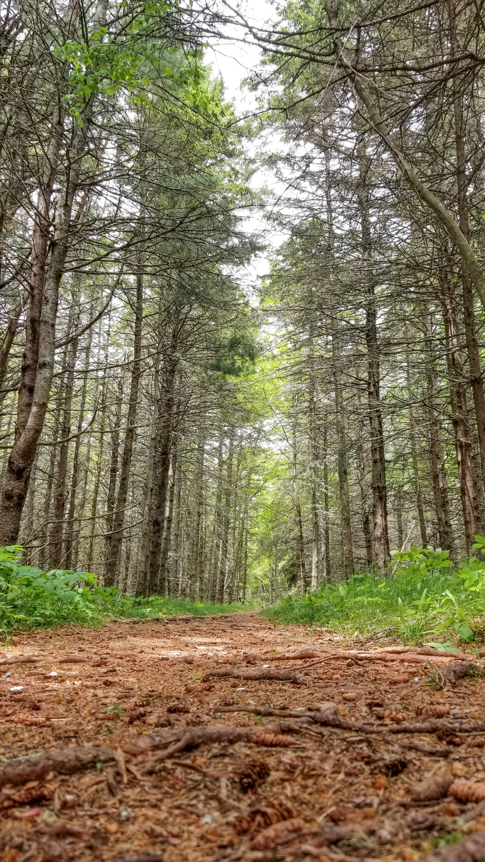
The one-mile walk down Tinker’s Lane is flat and wide, lined with tall evergreens and short groundcover. The path from the parking lot bends through the woods before connecting with Tinker’s Lane.
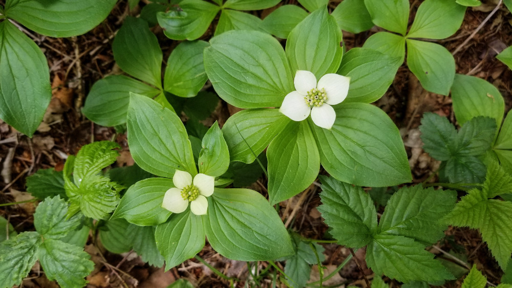
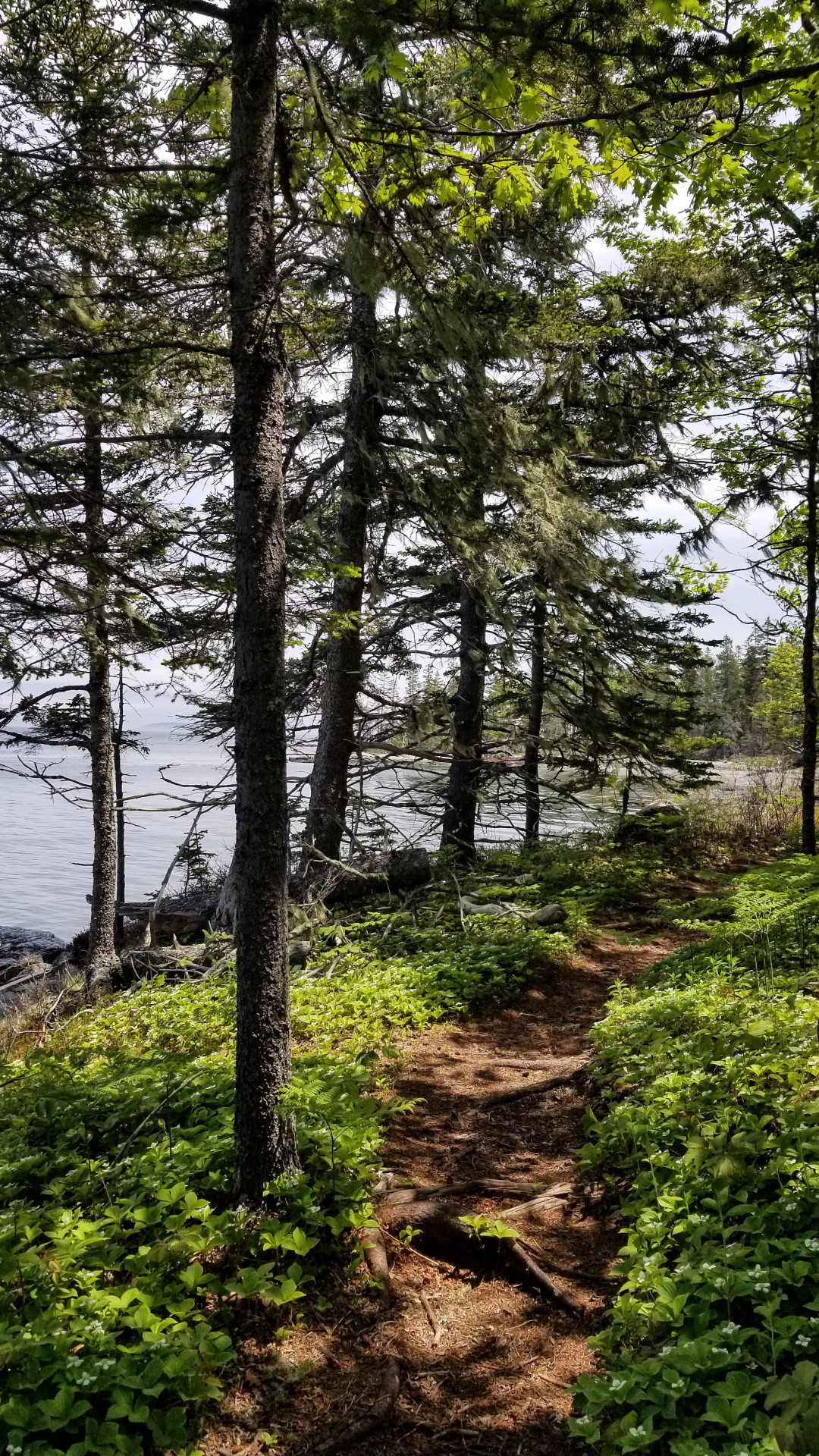
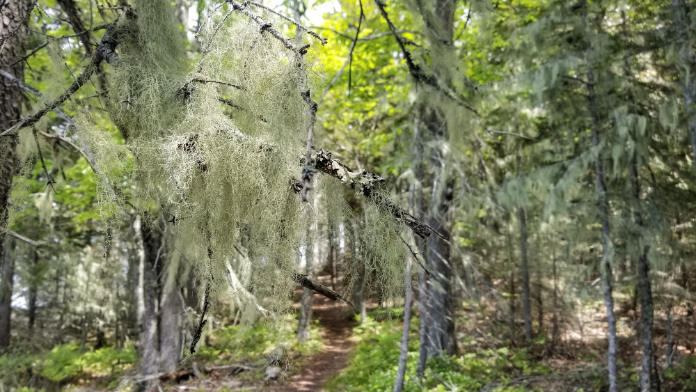
The rest of the way is a fairly straight shot, the sort of trail that encourages your eyes to note the details you normally don’t notice when you’re wary of your footing on rockier, rootier terrain. The fresh spring growth. The flowering bunchberry. The dangling old man’s beard. The smell of saltwater before you can see it.
At a field, you’re asked to choose: Left to the northwest point (0.25 miles) or right to the eastern beaches (also 0.25 miles). You’re not wrong either way.
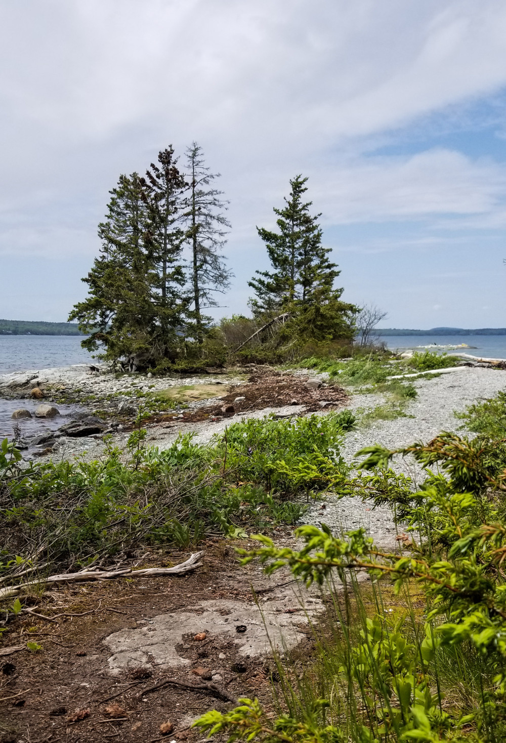
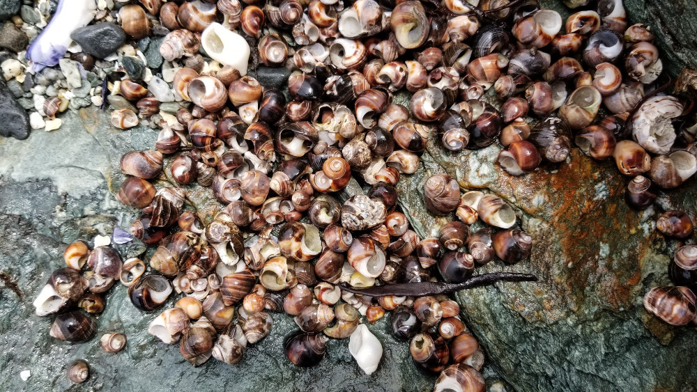
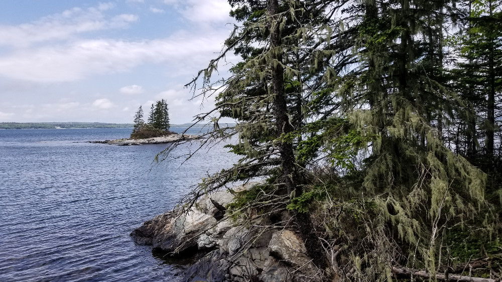
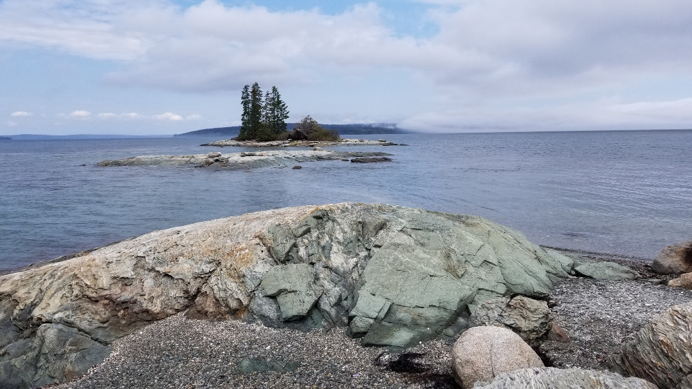
Me? I went left, and I wandered out onto an arm of land strewn with stone and snail shells. And the view? Marvelous, marvelous Maine. More specifically: Blue Hill Bay and MDI.
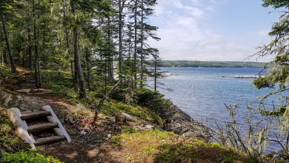
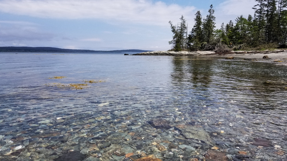
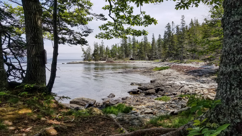
You can follow the trail to the beaches on the eastern side – there’s one after another over there. Crouch on the rocks to spy into tide pools or roll out a blanket and listen for seals and seabirds.
Harriman Point, Brooklin
The trail ispproximately 3.5 miles out and back, including visiting the northwest corner and the beaches.
Parking lot on Harriman Point Road, Brooklin. [Directions]
Harrimon Point is managed by Maine Coast Heritage Trust. Find more info, including a printable map, on their website:
www.mcht.org/preserve/harriman-point/

