


Ovens Mouth Preserve is the perfect hike for new hikers, kid hikers, or anyone who wants to get into the woods for couple hours (with a lunch stop at a perfectly placed bench overlooking the water) for a leisurely and supremely scenic hike.
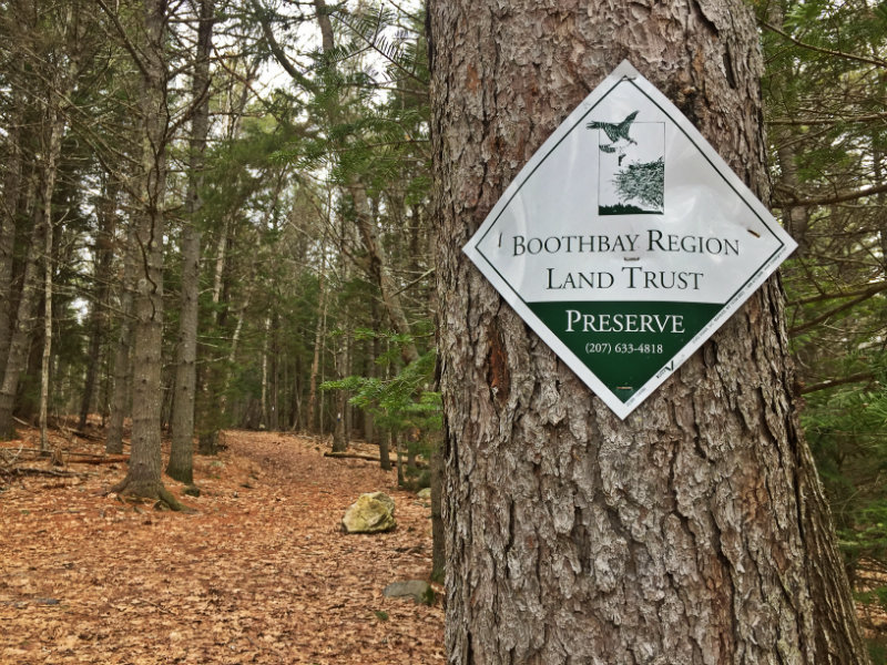
About an hours drive from Portland, Ovens Mouth Preserve is part of the BoothBay Region Land Trust‘s 30 miles of pet-friendly trails and is comprised of two peninsulas, which are connected by a bridge (so hike one or hike them both – totally up to you!).
There are about five miles of trails between the two peninsulas, and the trails on the west peninsula are more difficult than on the east (more ups and downs, for sure, but the inclines are brief and still accessible to beginners).
I opted to park at the west peninsula trailhead off Dover Cross Road and start on the 1.75-mile west peninsula loop, which starts in the woods and then meets up with the coastline for much of the hike.

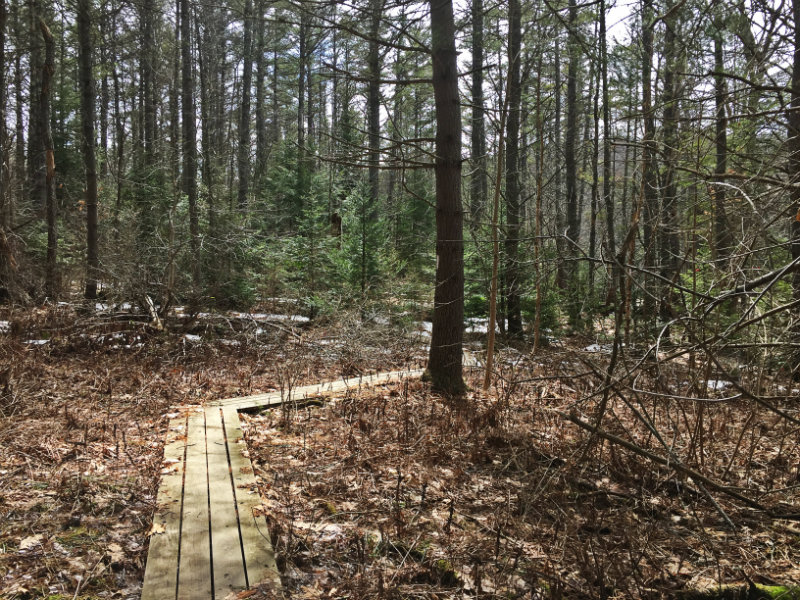
During my early April visit, there was still snow on the ground at the start of the trail. As happens this time of year, the snow gave way to mud farther along.


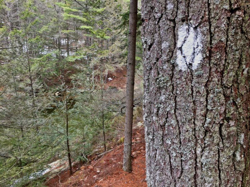
If you follow the west peninsula loop trail going clockwise (following the white blazes along the west side of the west peninsula) you’ll hear the river before you see it. What starts out looking like a creek thin enough to jump over will continue to widen as you go.

Eventually my boots discovered solid dirt and dry leaves again, and the Back River could be seen through the trees from the trail for most of the way.
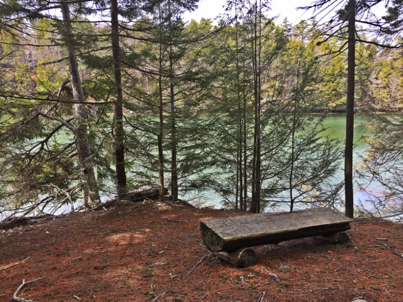
There are a handful of well-placed benches along the trail, which are perfect for a rest stop or just to loiter and enjoy the view.
There are some inclines, too, which will make sure your quads get some attention during the hike.


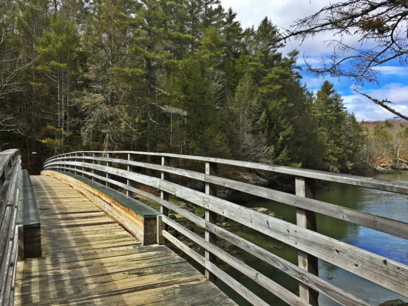
About a mile in, on the northeast edge of the west peninsula, I took advantage of a bench with a view and had lunch looking out at the water. This spot is also close to the bridge connecting the two peninsulas, and the east peninsula is right there! (There’s a bench across the water on the other side, so you could lunch there as well.)


I crossed the bridge to the east peninsula and hiked the 1.1 mile loop (yep, much flatter over on this side).
After circling around, it was back to the bridge and the western peninsula to finish the loop!

This was a perfect spring hike, with the sun peeking out and the air just warm enough that I didn’t need a jacket and gloves. The trail is well marked and the perfect middle ground between steep and flat (meaning, I wasn’t dying on inclines, but I still felt like those ups and downs gave me a little workout). There were families and dogs on the trail, so if you’d like to hike with the kids or your pooch, do it!
Ovens Mouth Preserve in Boothbay
Getting there:
Ovens Mouth East Trailhead: From the monument at Boothbay Center, travel north on ME Route 27 for 1.6 miles. Take a left onto Adams Pond Road. Proceed 0.1 miles, and turn right onto Dover Road. Continue 2.4 miles to the dead end. Parking is on the left.
Ovens Mouth West Trailhead: Follow the directions above to Dover Road. Go only 1.9 miles on Dover Road and bear left onto Dover Cross Road. The parking lot is 0.2 mile on the right.
More info:
Ovens Mouth Preserve on mainetrailfinder.com
Ovens Mouth Preserve map and info [PDF] via Boothbay Region Land Trust
Note: This post was originally published April 12, 2017


