

Every waterfall is a looker.
It doesn’t matter if it’s a shallow creek spilling over a series of pint-sized rock steps or a tall drink of water rushing from several stories overhead – we’re going to stop and watch it for a while.
We’re thrilled by water that leaps and tumbles from sheer rock faces and splashes dramatically into cool pools below before forging downstream searching out its destiny.
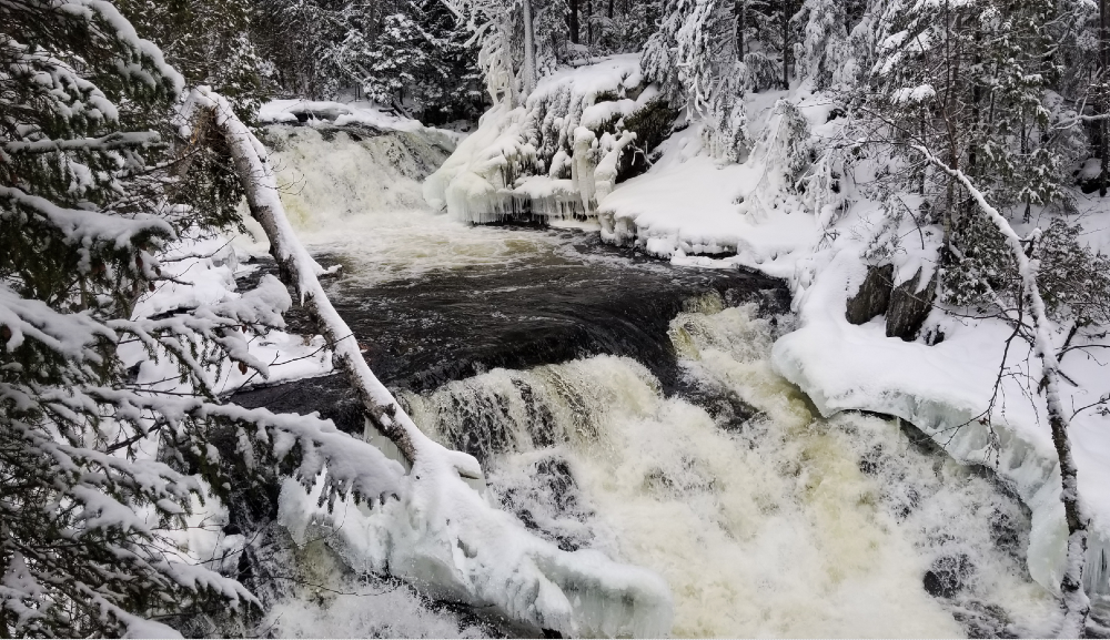
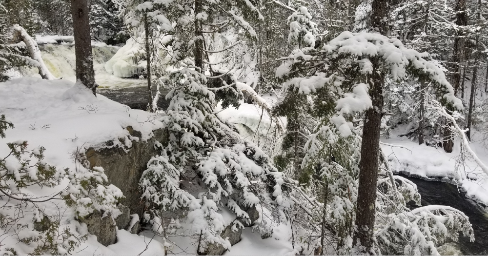
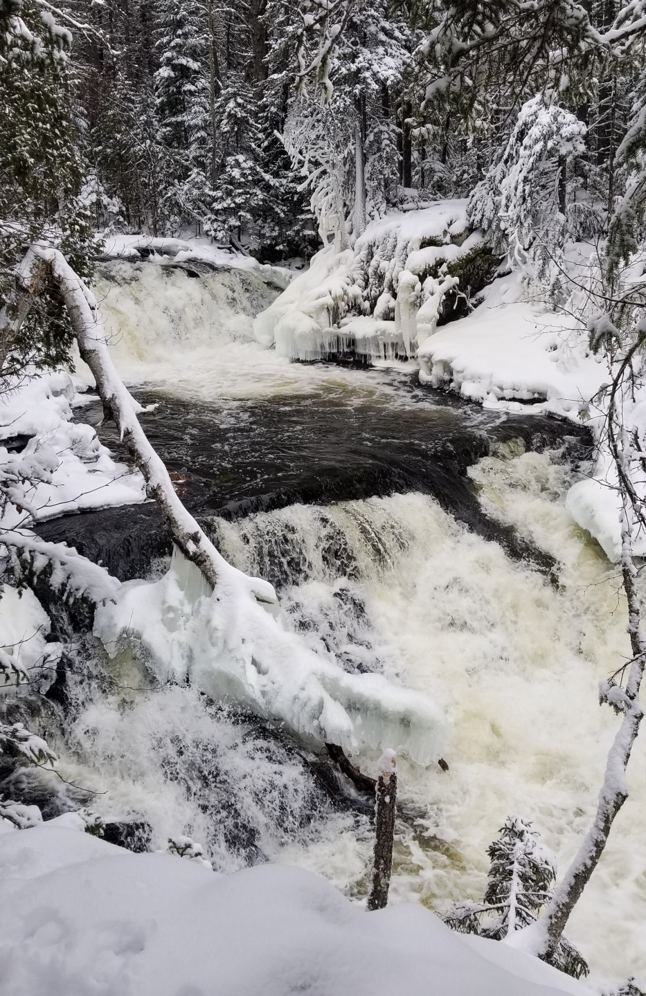
Shin Brook Falls in Shin Pond Village might not be the tallest or the most dramatic, but it’s dazzling.
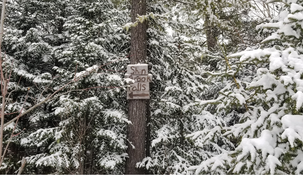
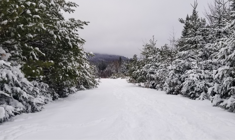
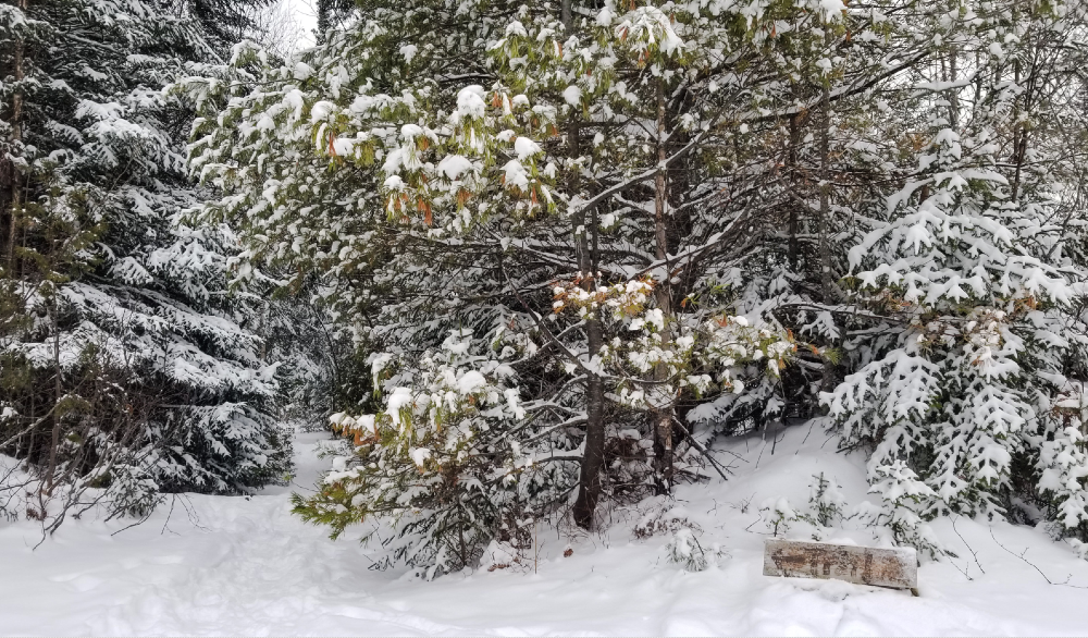
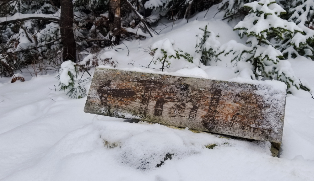
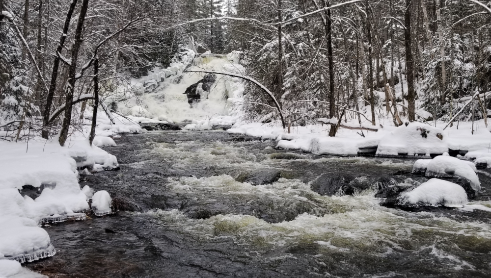
This impressive channel of rushing water is located in Shin Pond Village (just a hop-skip from Patten). The 0.8-mile loop trail to the falls is wide, flat, and easy to follow at the start. But snow complicates things a bit. Lucky for me, someone who knows the route had left bootprints since the last snowfall. And apparently I’m a trusting, not-afraid-of-serial-killers kind of trekker, so I followed them.
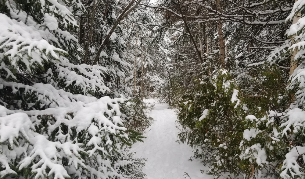
There are a few forks in the road and downed trees, but the the going is fairly flat if you go left at the fork to the top of the falls. As you approach, you’ll hear the 40-foot flood of water before you see it, sensing with each snow-crunching step that you must be close.
And then bam! There she flows!
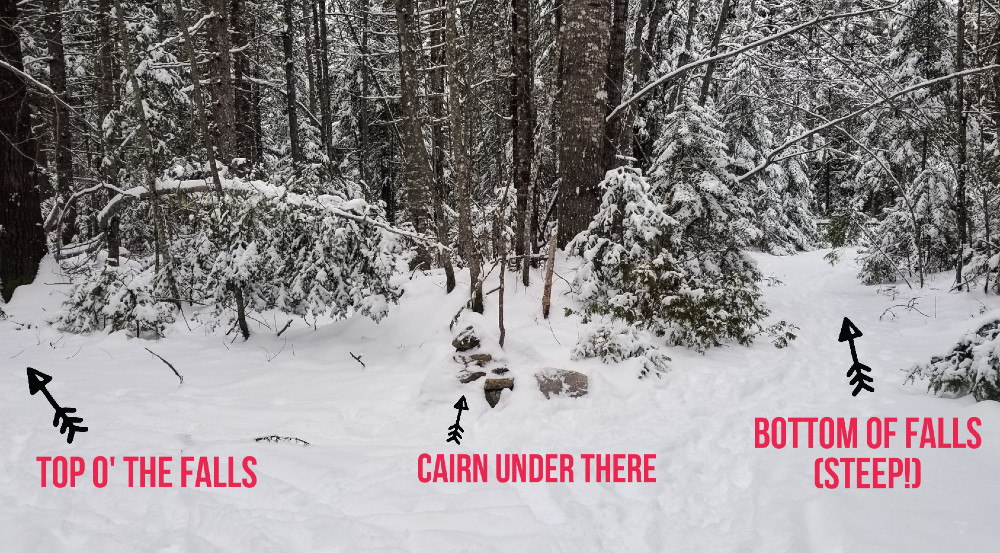
The trail to get there is technically a loop, but parts of the loop can be tough to follow in the snow. The easiest route with the best view is to follow the loop clockwise, or left at the cairn, to the top of the falls and then return the same way. That portion is relatively flat and easy to follow. If you instead go counter clockwise, or right at the cairn, the trail is very steep and has a rope tied from tree to tree that you can use to climb down.
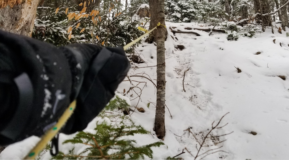
When I was there, I wasn’t able to connect the loop from the top of the falls down toward the base of the falls due to all the snow and lack of markings. I backtracked instead and went back toward the brook from the other end. Now here things got mighty steep. Someone’s affixed a rope from tree to tree so hikers have something to hold onto when climbing up or down. Could be daunting for some hikers, especially with the snow/ice. Microspikes: 👍
Short hike to Shin Brook Falls
Shin Pond Village, Maine
Find the trailhead and parking off Grand Lake Road, about 15 miles from Patten. Parking area isn’t always plowed, so make sure your car can handle whatever snow it pulls into.
Trail: The Shin Brook Falls Trail is a 0.8-mile loop that remains mostly flat, except for the portion that descends down next to the falls for downriver views, which is very steep. The trail is mostly easy to follow, but there are spots where it’s less clear.
www.alltrails.com/trail/us/maine/shin-brook-falls


